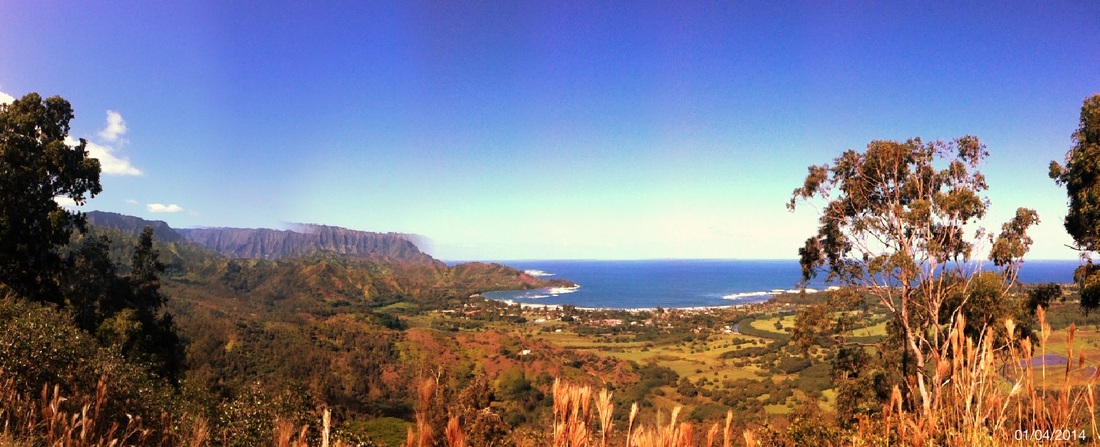
This was my first real hike in Kaua'i, and I couldn't ask for more spectacular weather and views! I must have seen at least ten helicopter tours, and I can guarantee I was paying a lot less to see some gorgeous scenery.
Getting There: You will find the trail about a mile from the main Hanalei Bridge. From Princeville, take a left immediately after crossing the main bridge. From Hanalei, it is the last right just before crossing the bridge to go up to Princeville. Drive about one mile, and you will see a dirt parking lot on your left. Across the road to the right is the trail head.
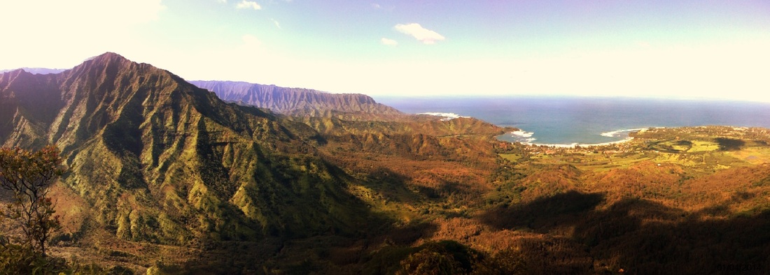
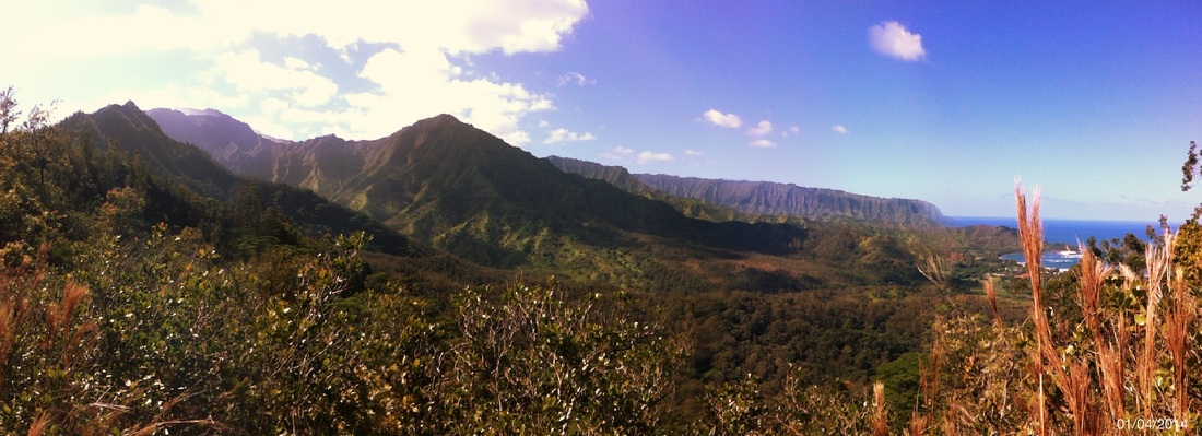
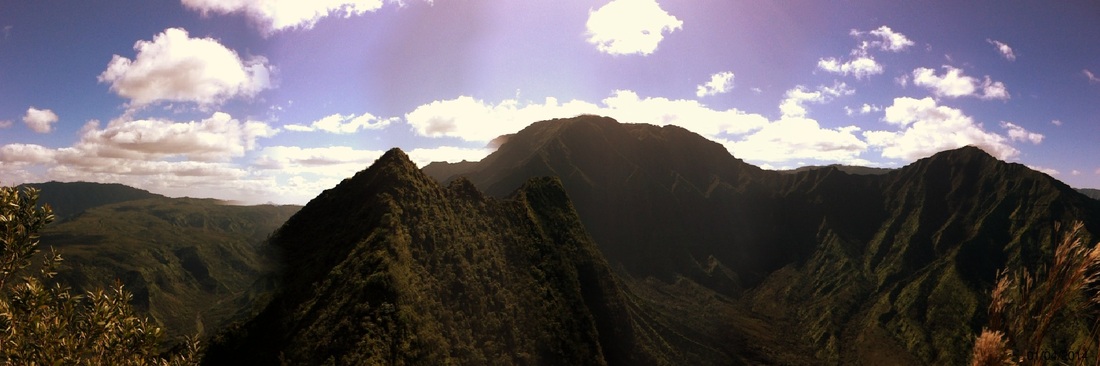
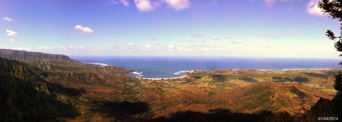
Trail Itself: The first mile can be quite muddy, but push on for some great views. There are some ground netting early on that helps with mud and slippery slopes. About a mile up and there is the first lookout at a power line tower. Another mile up (the mud has decreased, but you still need to watch your footing) and there is an even better near 360-degree view of the Hanalei Bay and surrounding valley. You could easily stop here, having climbed 1,250 feet, but I went on a very narrow trail that followed the ridge line up and down slippery slopes with ropes until I reached the tallest point marked by a tall evergreen (about 4 miles up, 8 miles round trip I estimate). There were about two more peaks I could see beyond where I went (see below), but I was satisfied (and out of water!).
What to Bring: At least 2 quarts water to make it to the top, sunscreen, hat/sunglasses, good shoes that can handle mud, hiking stick or other gear for steep ascents, gloves to protect your hands on the ropes if you go beyond the initial two miles, lightweight long pants to protect from brush. Most of the time you are going in and out of shade.
My legs burned several days after this hike; perhaps a day recovery if you only did the initial two miles (what's on the map). I would only take dogs on the first mile or so, when the trail is wider, but if you're going in the rainy months (late Nov - early Mar) be prepared for plenty of mud early on.
 RSS Feed