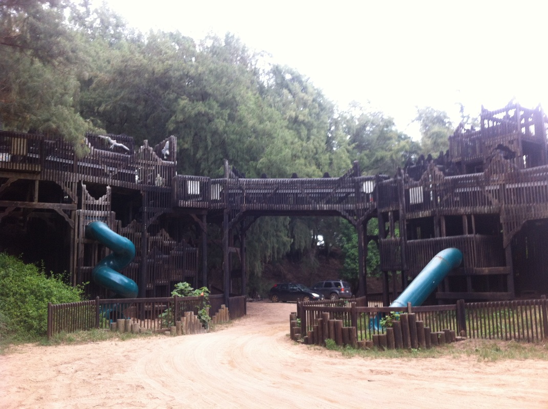
You can take that dirt road (I'd recommend a 4x4 or mountain bike) all the way up to the camping area of Lydgate Beach Park. There you will find one of the coolest playgrounds ever!
|
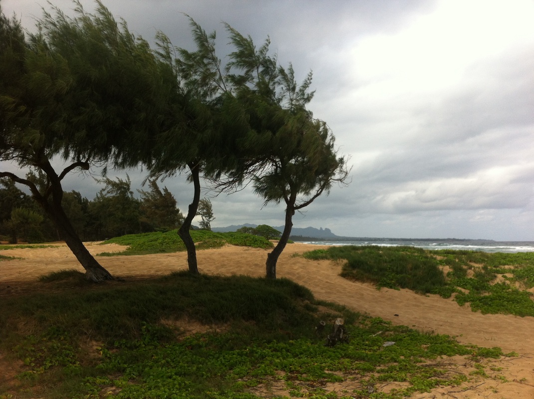
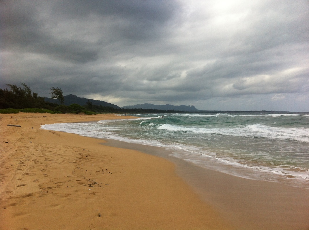
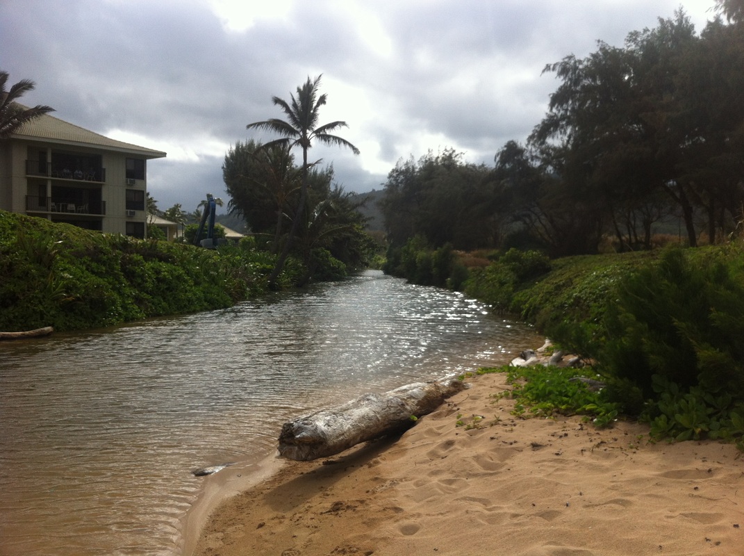
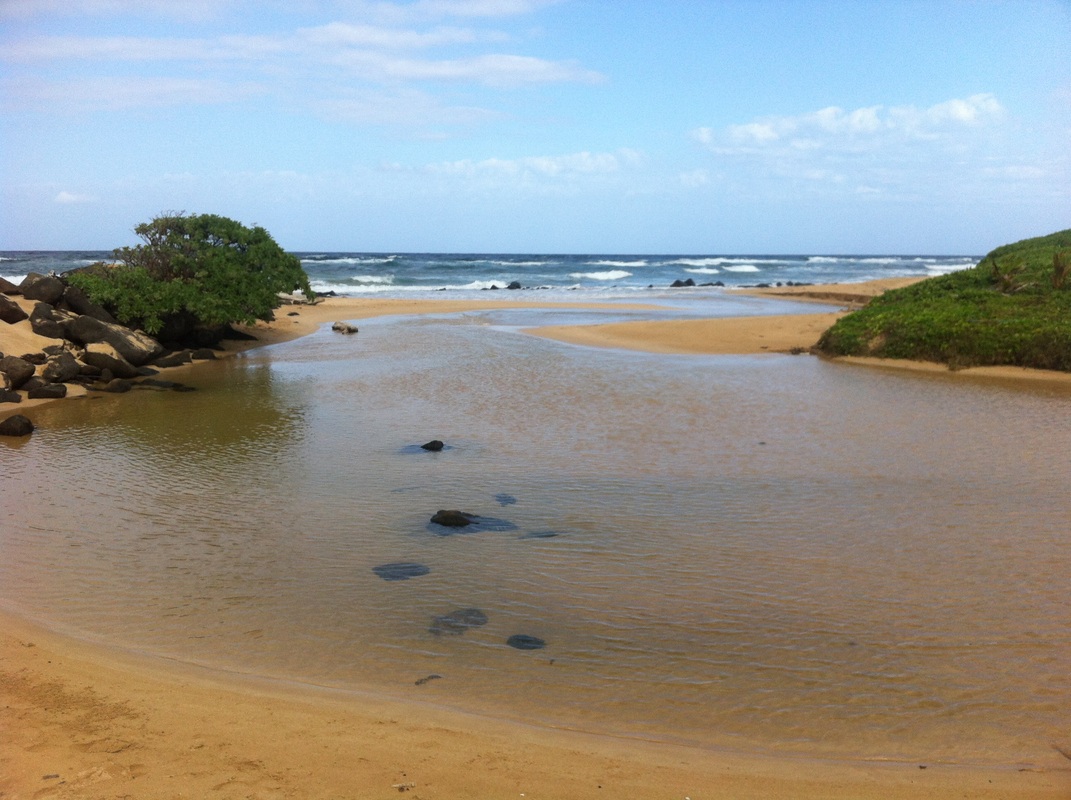
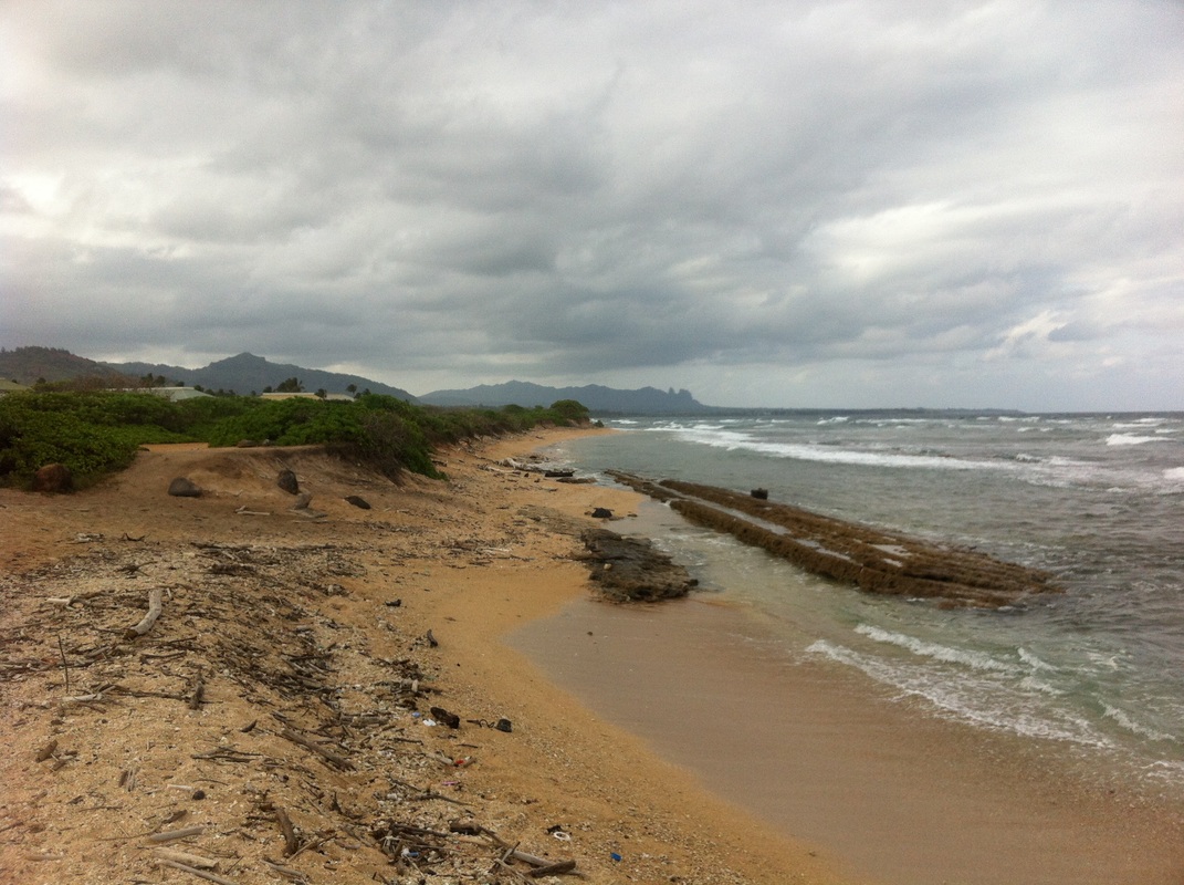
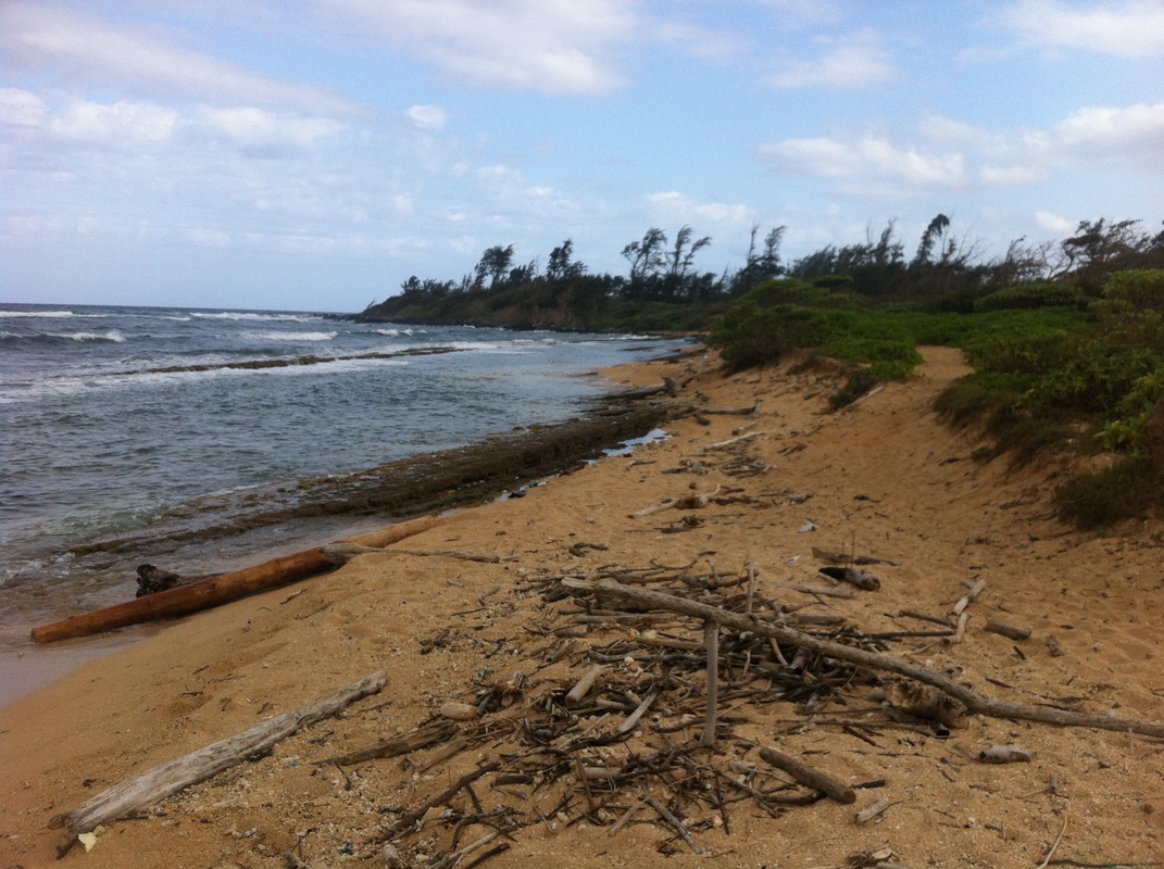
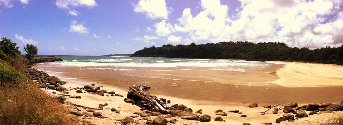
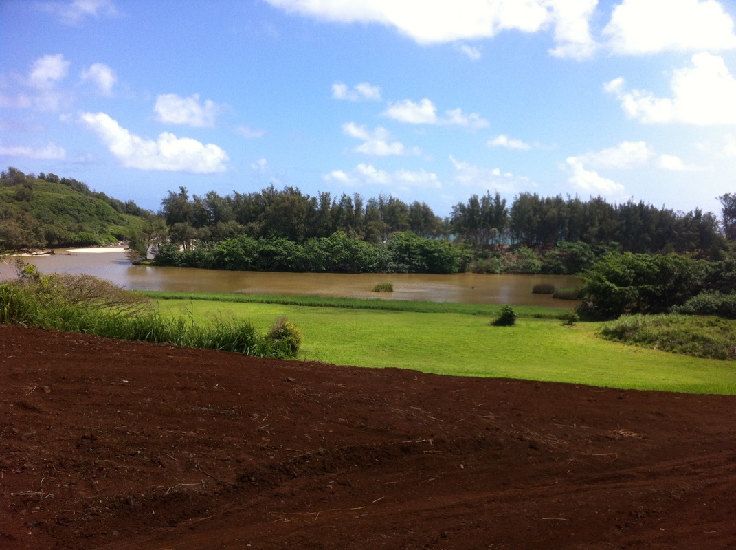
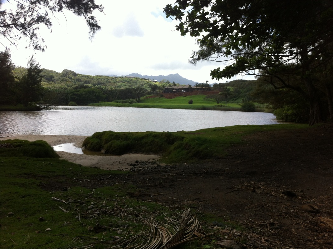
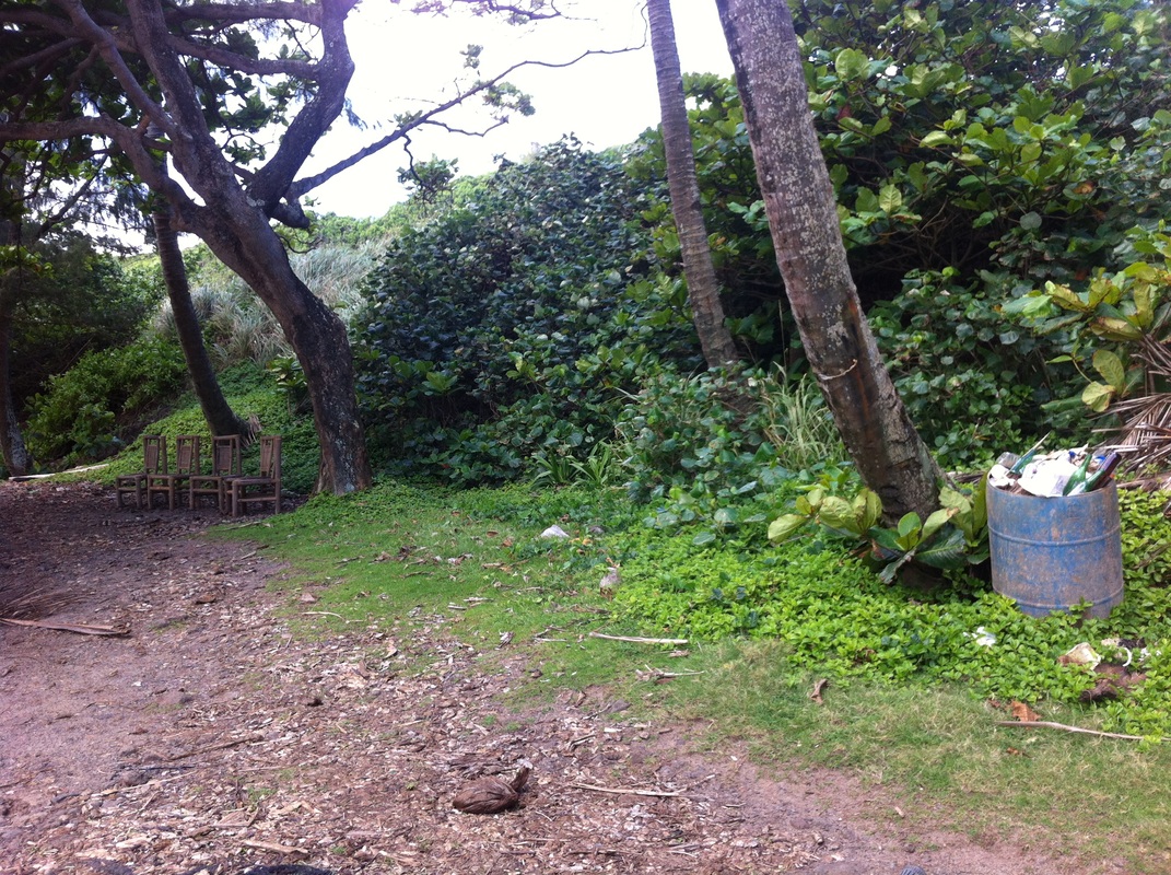
A friend told me about a neat little beach heading north from Lihue just before getting to the Wailua Golf Course (apparently the cheapest place for a round of golf on the island). Turn Right on the dirt road just past the sugar cane field and right when you see the golf course lined with trees. The road follows the canal (see map below) along the golf course and then out to the ocean. On your way in there will be a gate on your right after the road makes a hard left hand turn. This is where they dirt bike rallies from time to time. I saw a guy 'grooming' the ground and found out later they were getting ready for a weekend race. Beyond that are some cool trees with sporadic picnic tables and the beach, with incredible views looking north along the Wailua Golf Course. You can't see the golf course very much since there is a buffer of trees, and lots of folks had driven along the rugged dirt road to park their vehicles overlooking the ocean and grill or fish (or both!). It definitely felt like a local hangout, but I was told not to hang out there after dark due to drugs. You can take that dirt road (I'd recommend a 4x4 or mountain bike) all the way up to the camping area of Lydgate Beach Park. There you will find one of the coolest playgrounds ever! A cool biking trip I plan to take is to ride down the Kauai Bike Path to Lydgate, then take the dirt road along the ocean south past the Wailua Golf Course and then come back the same way or along the road. Another adventure I plan to take is kayaking in the canal that separates this little spot between the golf course and the Kauai Beach Resort. On the other side of the Kauai Beach Resort is Nokolii Beach Park, apparently created and managed by the Kauai Beach Resort. Turn off Kuhio Hwy at the Kauai Beach Resort main road and drive down through an astounding corridor of old banyan trees - quite spectacular! As soon as these trees end and before the solar-panel-covered parking lot, turn right and head down a paved road until you reach the ocean. There is a small parking lot with restroom facilities and outdoor showers to rinse off the salt water. I didn't see any picnic tables like the place on the other side of Kauai Beach Resort, but there was a nice mowed trail that loops around the area along the ocean and back through the field. Other than a lady and her dog, I was the only one there! A nice little find on an otherwise overlooked section of Kauai most people just drive past to get to other places!
0 Comments
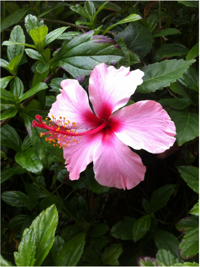
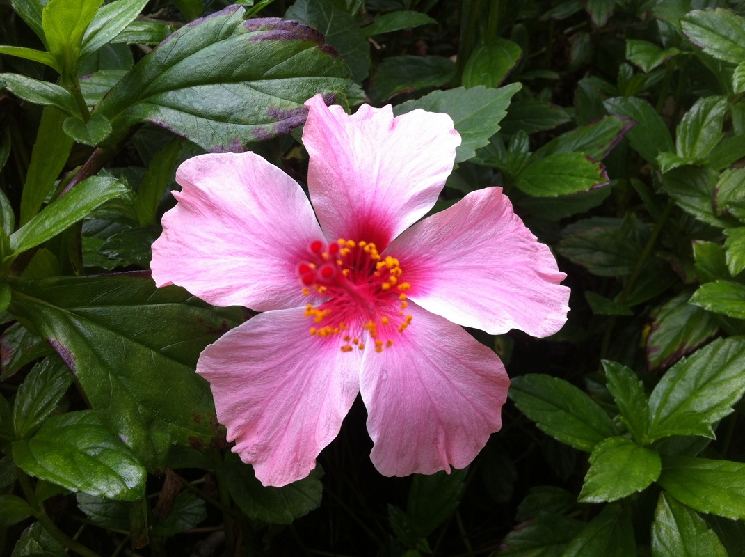
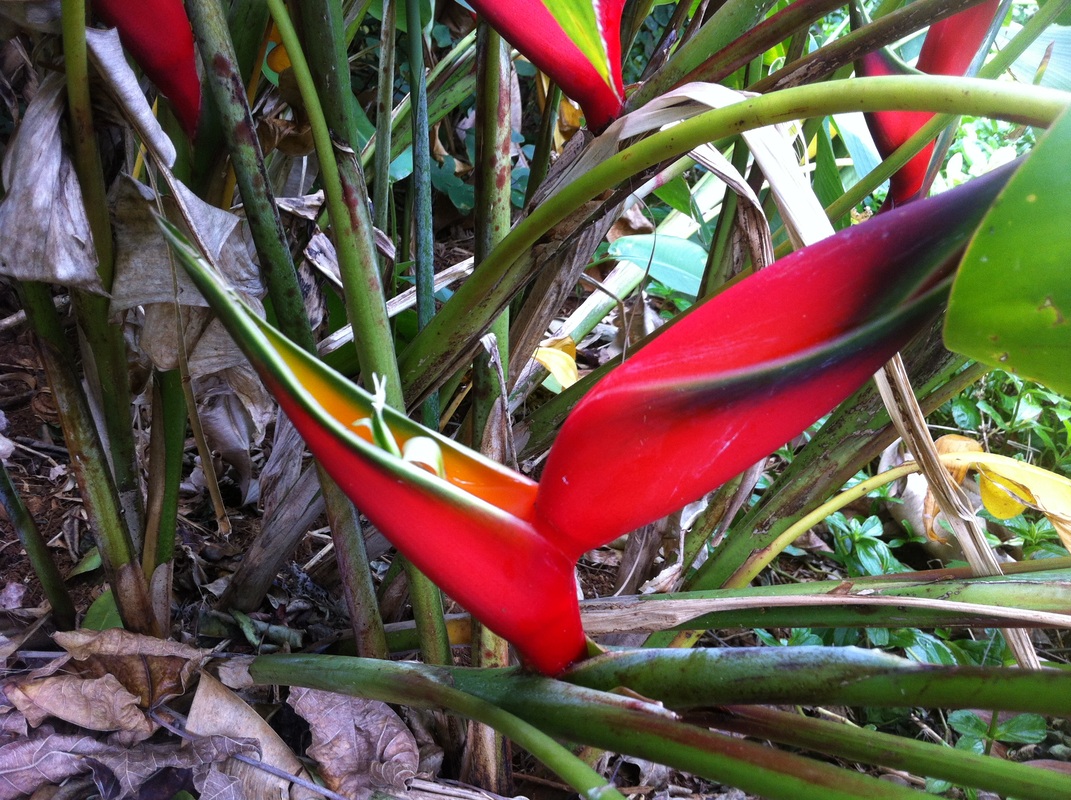
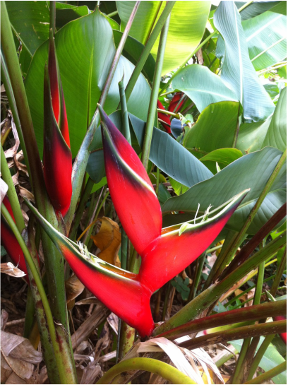
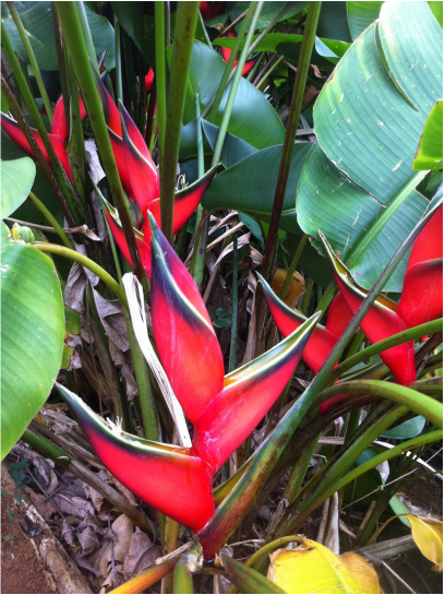
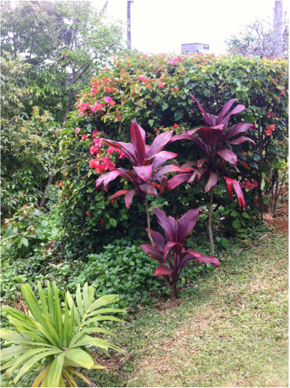
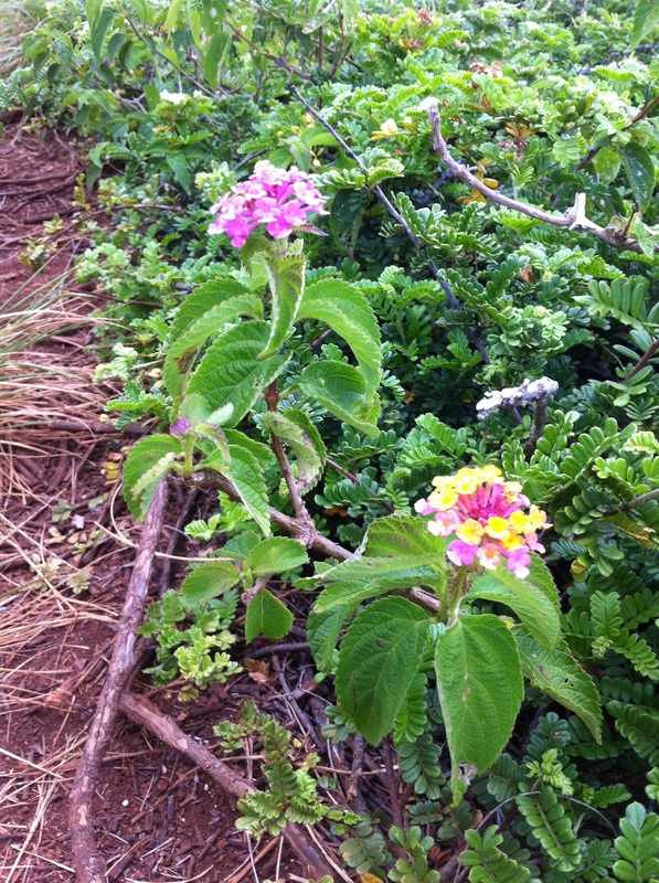
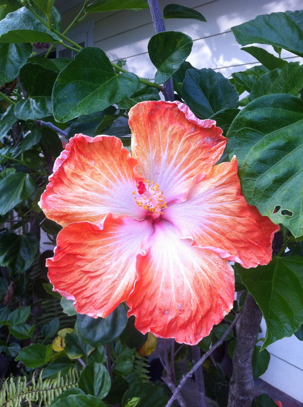
I have yet to go to any of the botanical gardens on the island, but I did manage to snap some photos of some beautiful flowers while I was recently pilfering fruit in Princeville. There are fruit trees everywhere and so much fruit simply falls to the ground for the birds!
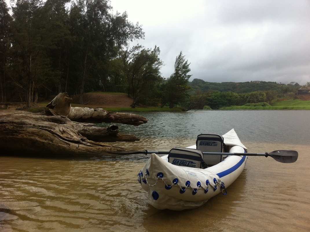
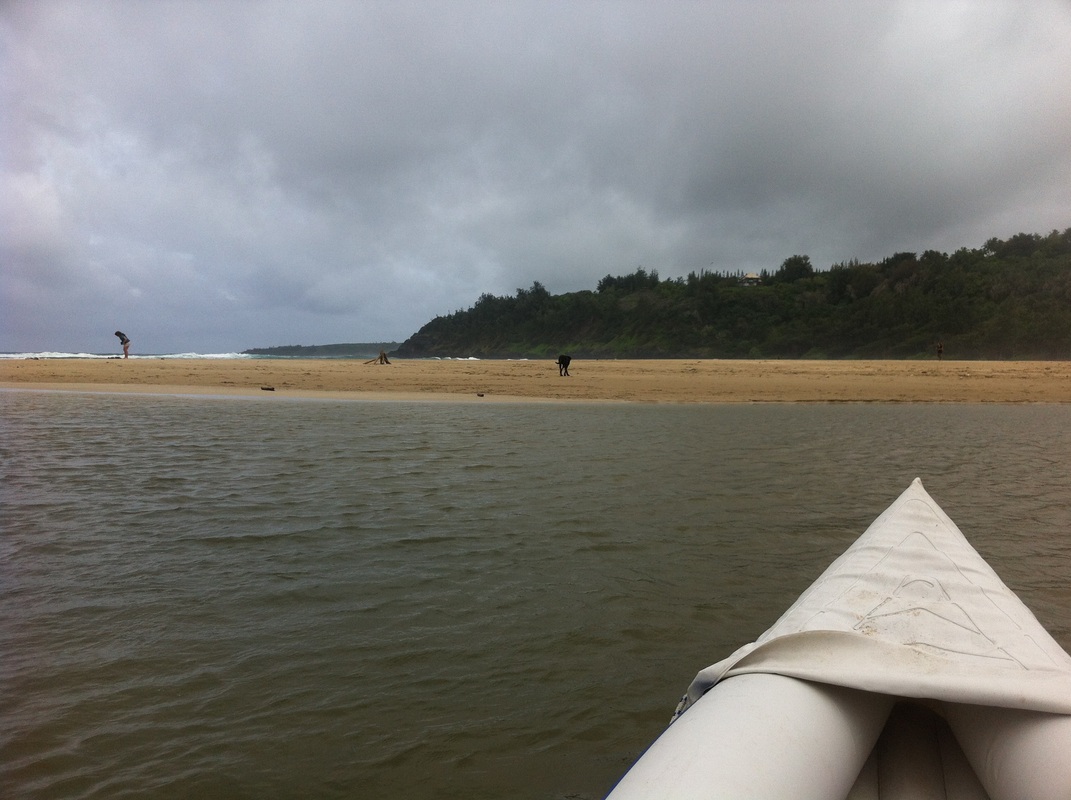
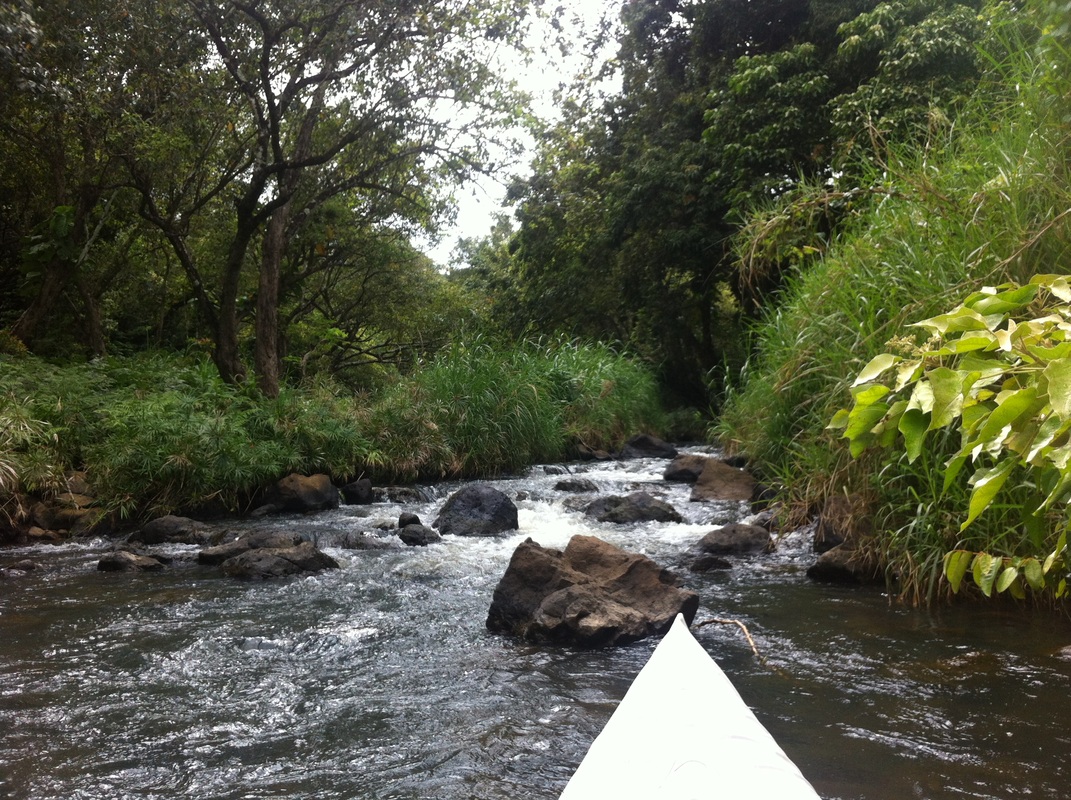
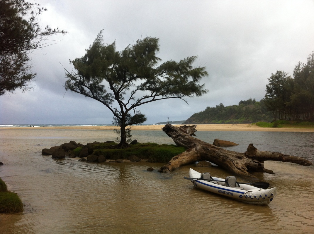
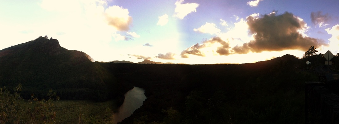
On Easter, Emily and I took my inflatable kayak (a birthday gift last year from Emily - best gift ever!!) out on the Kilauea Stream, which dumps into Kilauea Bay at Kahili (Rock Quarry) Beach (click link to see pictures and read about my adventure exploring the nearby lava pools). She was going to lay out on the beach but then decided to come at the last minute, and I happily paddled along as she was even more content to lay down and be treated as a queen being paddled up river. This excursion is not mentioned in most guidebooks because after a half-hour you pretty much reach the end of the river. It's private property, but I explored just twenty yards upstream to find an ideal swimming hole with a rope swing. It's a shame that places like this have been bought up and now people are prevented from enjoying some really cool, unique spots on the island. Technically, rivers and beaches are supposed to be public, but increasingly people are buying up lands and preventing others from gaining access. What a shame!
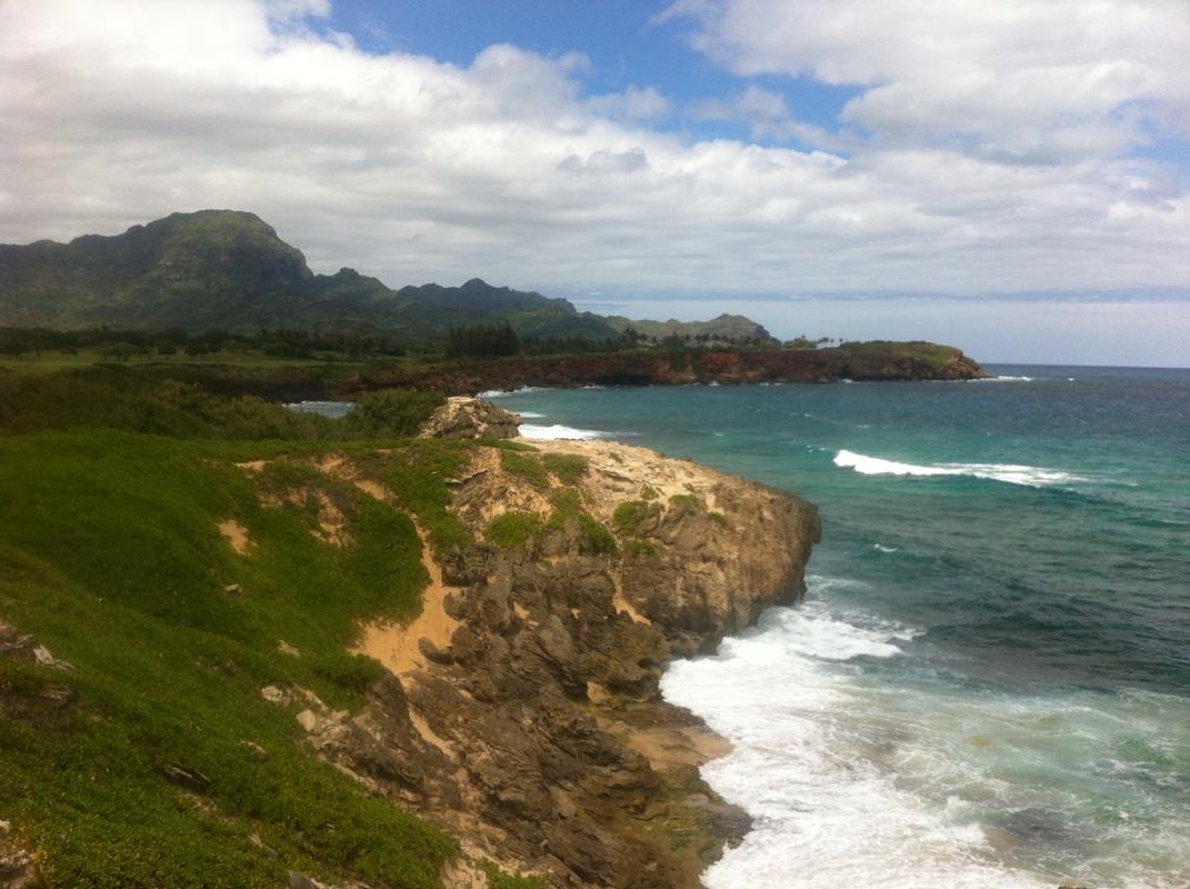
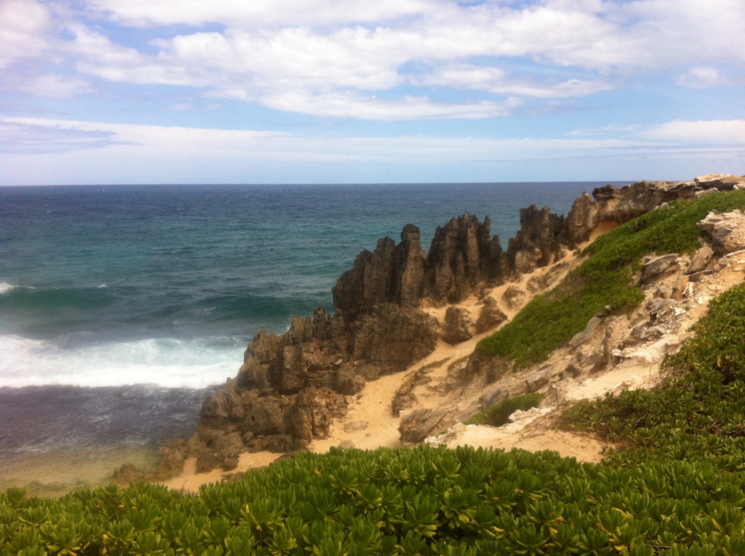
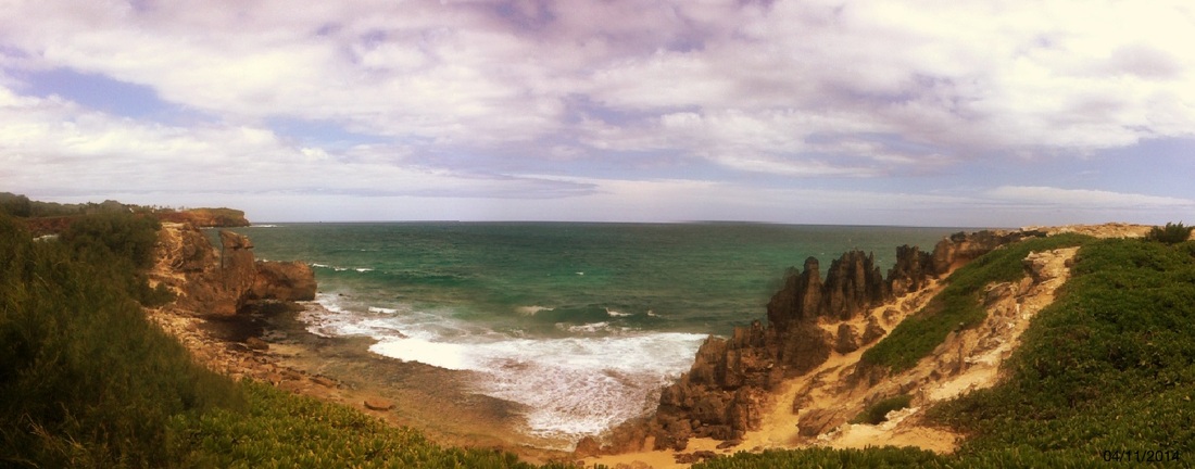
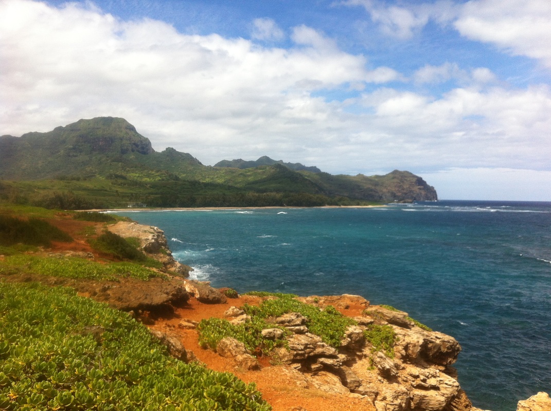
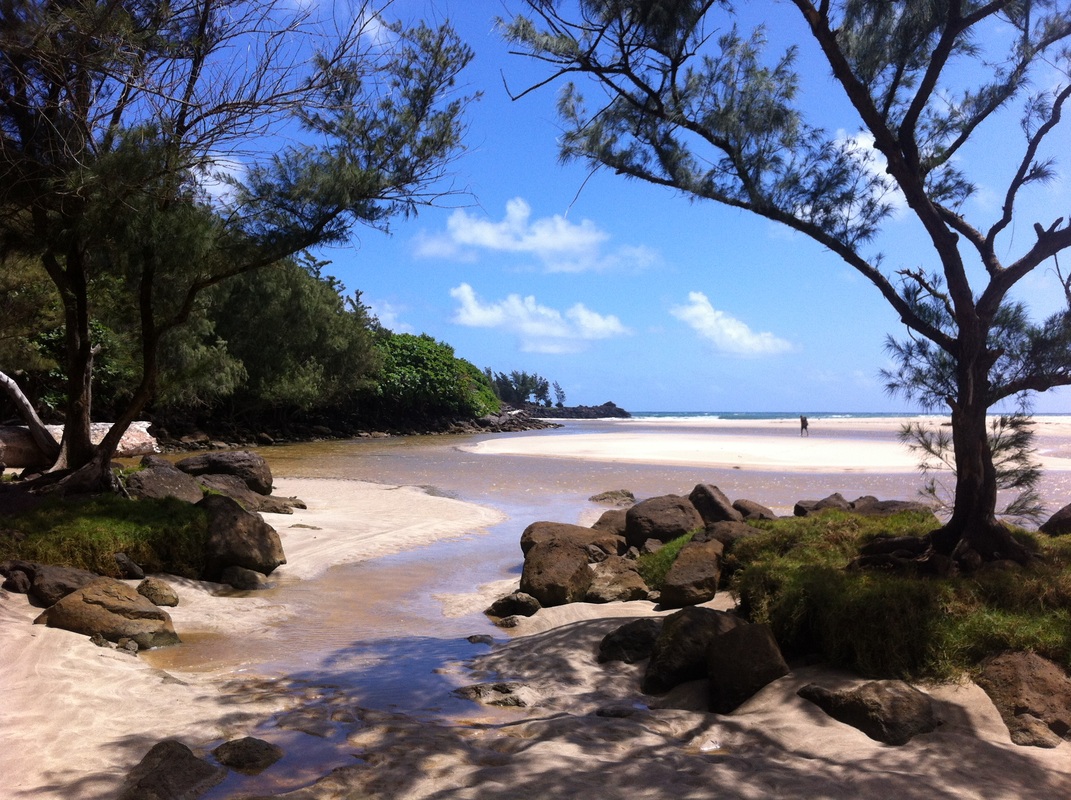
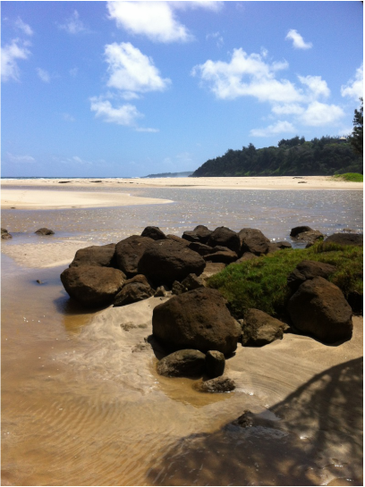
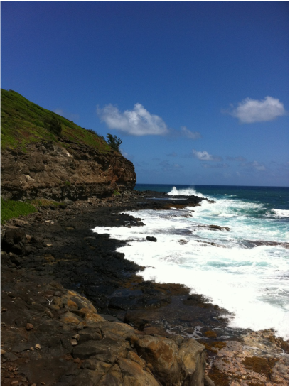
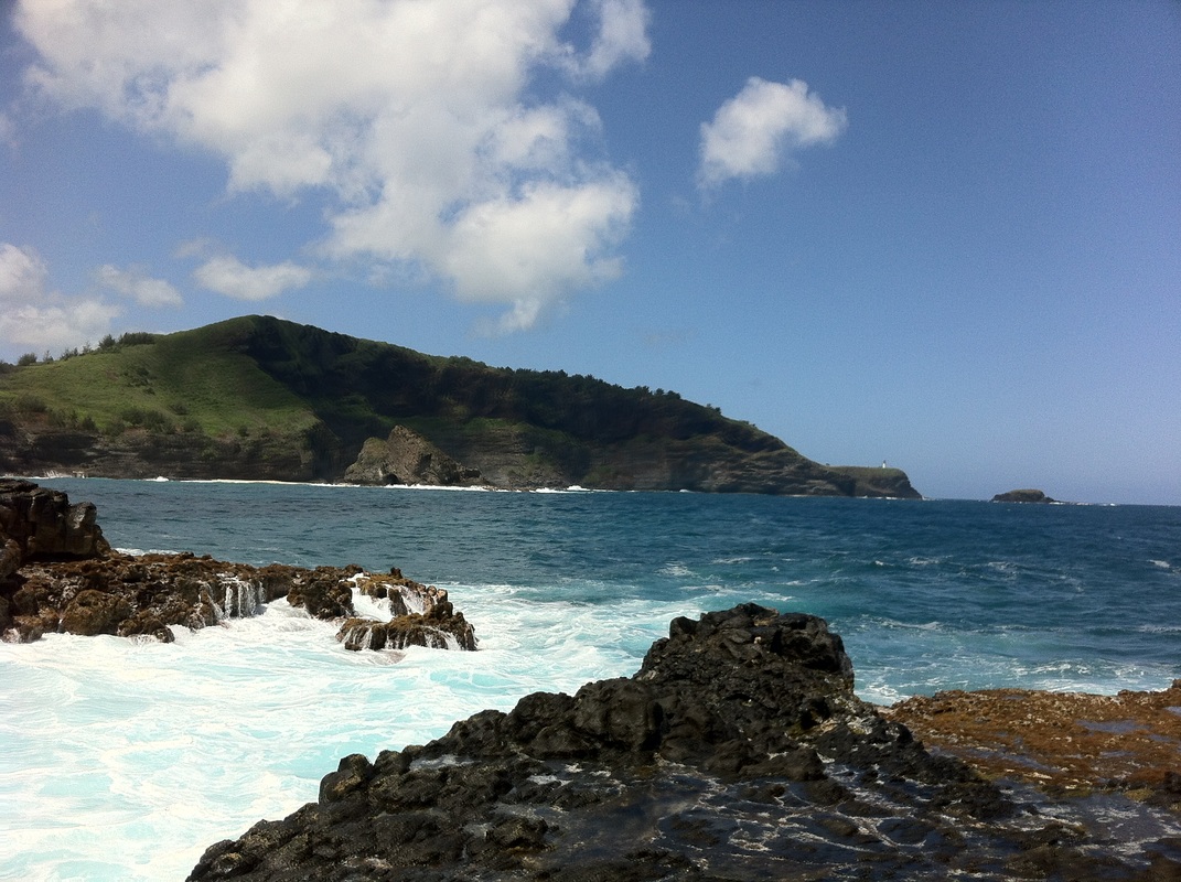
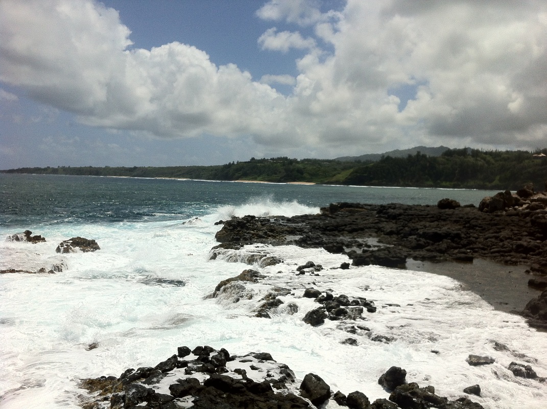
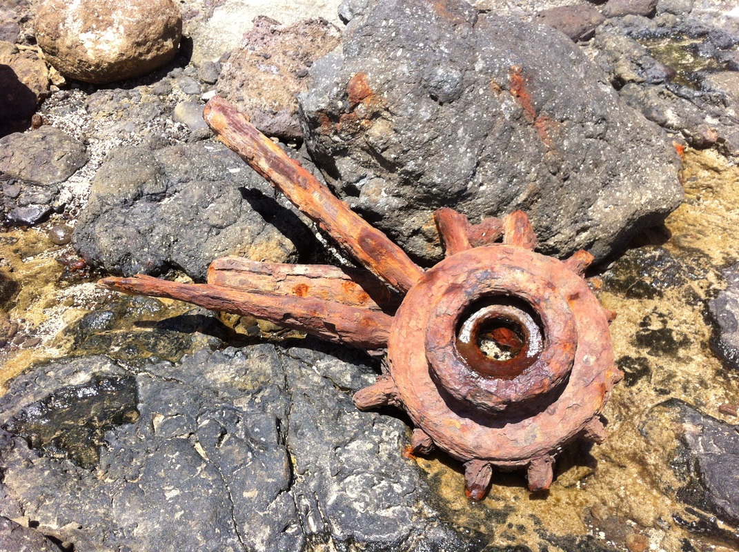
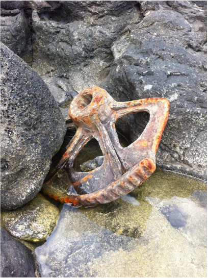
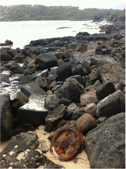
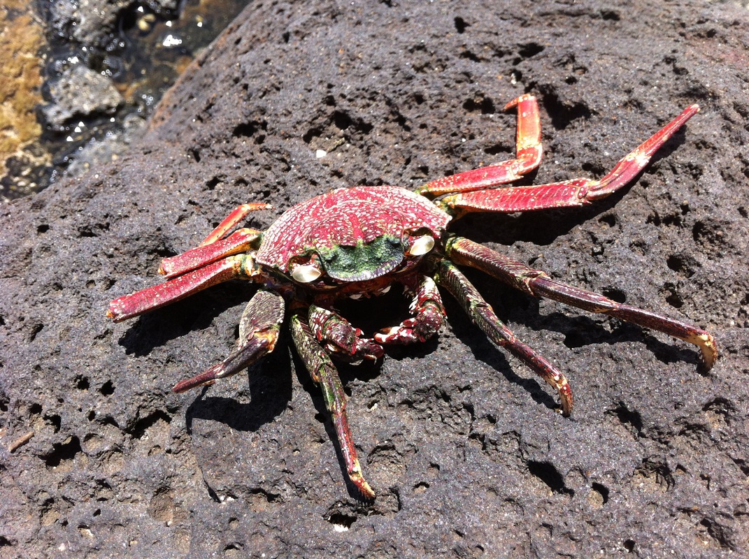
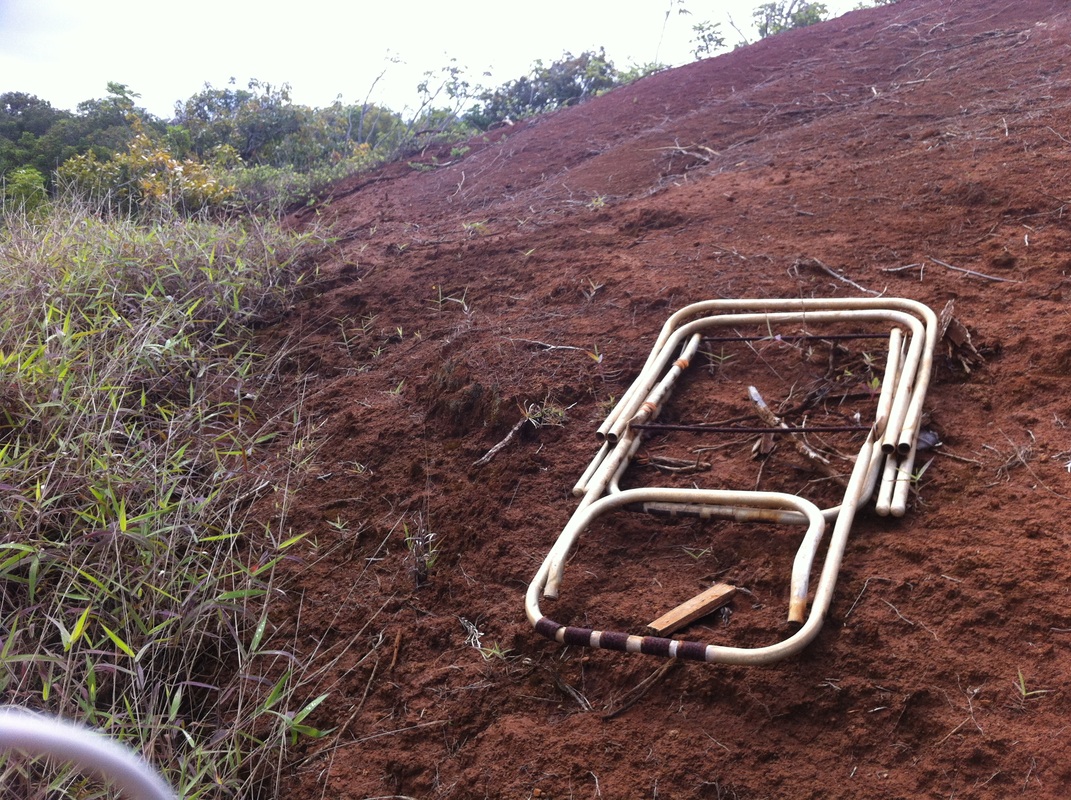
I joined family friends Jane and John on the South Shore for a nice walk behind the Hyatt along Shipwreck Beach and the Makewehi Lithified Cliffs. We saw some really cool formations along the cliffs, unlike anything I had seen on Kauai. After we returned to Shipwreck, I just had to jump off the well-known cliff-jumping spot. Although it's hard to tell from these pictures, I estimated (and later confirmed) the height to be about 35 feet. Living in Kilauea now, I decided to check out one of the local beaches, Rock Quarry or Kahili Beach. There are two bumpy dirt roads on either side of the Kilauea Stream (which I later kayaked!) Valley that lead down to the beach. It's easiest to access from the southern dirt road off of Wailapa Road. However, my first foray down to the beach was walking down the northern dirt access road past a monstrous house going up. You come out to an incredible view of the river mouth opening to the beach with an ideal picnic spot of cool shade and lush grass. I decided to explore further up the coast to my left. I found lots of rocks and a trail that went over ancient lava formations until I came across some amazing tidal pools in the rocks. I suggest coming here ONLY when the ocean is calm and the tide is low. There were several stealth waves that came out of nowhere and got me wet. Quite an adventure and not for the faint-of-heart. There was at least one nice-sized lava pool to sit in near the end and close to the cliffs that appeared to be the safest. I would be very careful in any of the others. I opted not to get in any and kept to the high ground. On the way back, I took some photos of some old dumped equipment, probably left over from the sugarcane plantation days.
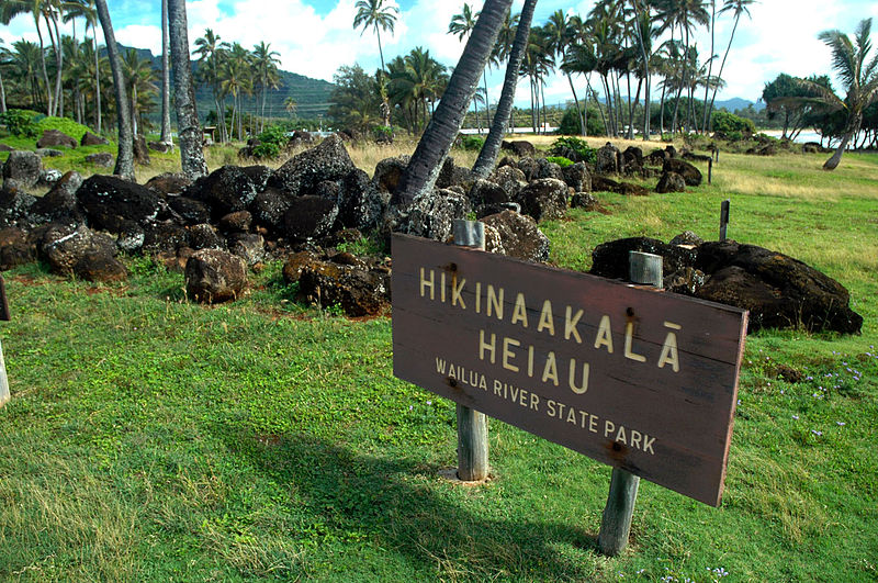
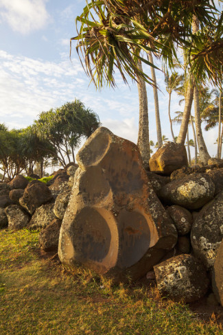
An article I wrote for a forthcoming driving-CD of the island of Kaua'i. Visit www.kauaidrivetours.com for more information. Approaching Wailua from the south, you will see Lydgate Beach Park on your right just before you cross over the Wailua River. This place of sea and sand marks the sacred gateway into the heart of the island. Called hauola or “dew of life,” this area around the river’s mouth was well renown as a place of healing and wholeness. Here many ancient Tahitian voyages would embark and arrive, and many ali’i or chiefs resided. Remnants of large volcanic boulders just off shore create a small, somewhat protected area for swimming and snorkeling. The last king of Kaua‘i, King Kaumualii, used to swim here. At the north end of Lydgate Beach Park next to the river’s mouth is a heiau erected in the 14th century. The original structure, called Hikina-a-ka-la or “The Rising of the Sun,” rose like a mighty fortress, measuring 80 feet wide and nearly 400 feet long, with walls six feet high and over eight feet thick. Each day at dawn, the sun’s first rays broke through the sea’s salt spray and warmed the stacked stones. Kahuna or priests would greet the rising sun with chants and prayers. They placed wooden statues or ki’i along the river wall to keep watch and sway with the shifting tides. Within the heiau walls was a pu’uhonua, a place of refuge for those fleeing a crime. After a few days of performing sacred rights, a refugee would be released without being punished. Various people sought refuge here during times of war.
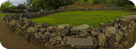
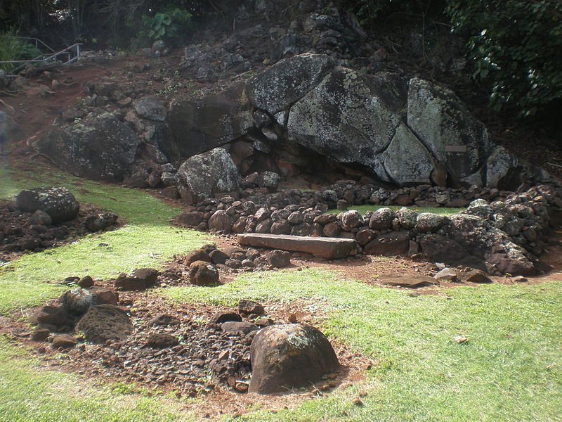
Today, all that remains are foundation stones amidst a grove of coconut trees. Remember that this heiau is still a sacred place. People often leave offerings wrapped in ti leaves. May these offerings and this sacred place continue to offer healing for all. An article I wrote for a forthcoming driving tour on CD for Kaua'i. Visit www.kauaidrivetours.com for more information. Turning onto Kuamo‘o Road (Highway 580), you are now entering Wailua Nui Honoa, the Great Sacred Wailua river basin, one of the two most sacred sites in all of the Hawaiian Islands. Less than a quarter mile on your left is a small turnout at the Holoholoku Heiau, the oldest place of worship on Kauai. Here the Hawaiians honored the beginning and end of life. The low stone wall you see, measuring 24 by 40 feet, marks the original foundation of the heiau. This heiau honored all of the Hawaiian gods, giving particular recognition to Ku. Ku literally means “rising upright,” as in the rising sun over the ocean nearby, and often the Hawaiians worshipped Ku for good fortune and prosperity in their endeavors. Archeologists believe animal or possibly human sacrifices were part of the worship here. Just as life ends, so does it begin. Walk a few meters beyond the heiau to a small cliff face and another sacred site called the Birthstone, where the last king of Kaua‘i, King Kaumualii, was born. The flat sandstone in front of the small stone foundation marks the remains of a sacrificed dog, making the area kapu or forbidden to commoners. Inside the stone wall was a hut for the expectant mother. When the time came, she leaned on the birthstone, Pohaku Hoohanau, to your left, and placed her feet on the umbilical stone, Pohaku Piko. The umbilical cord, representing past connection, was wrapped in kapa leaves and wedged in the large crack in the cliff to protect it from rats. A rat eating the cord meant the child would become a thief. No matter one’s lineage, a future chief had to be born on this stone in order to be chief and absorb the sacred mana or energy of this place. Here, place matters.
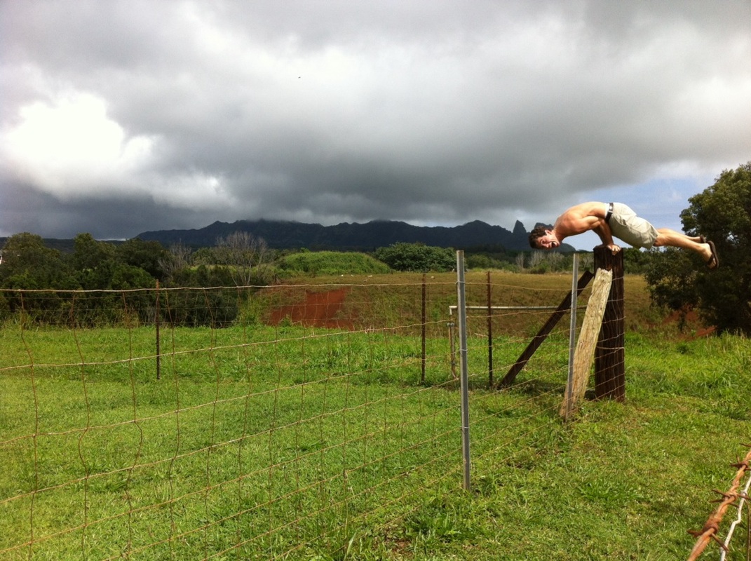
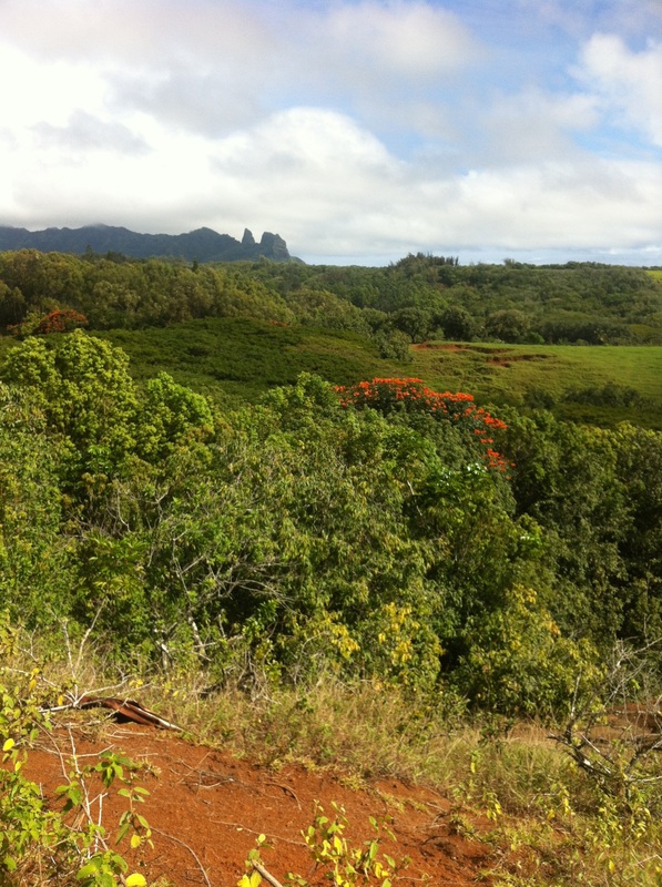
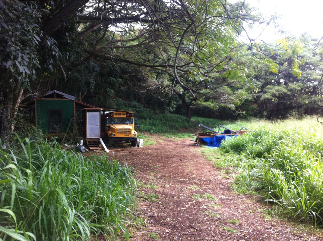
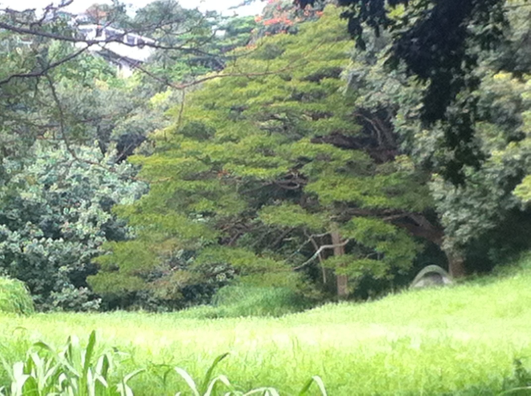
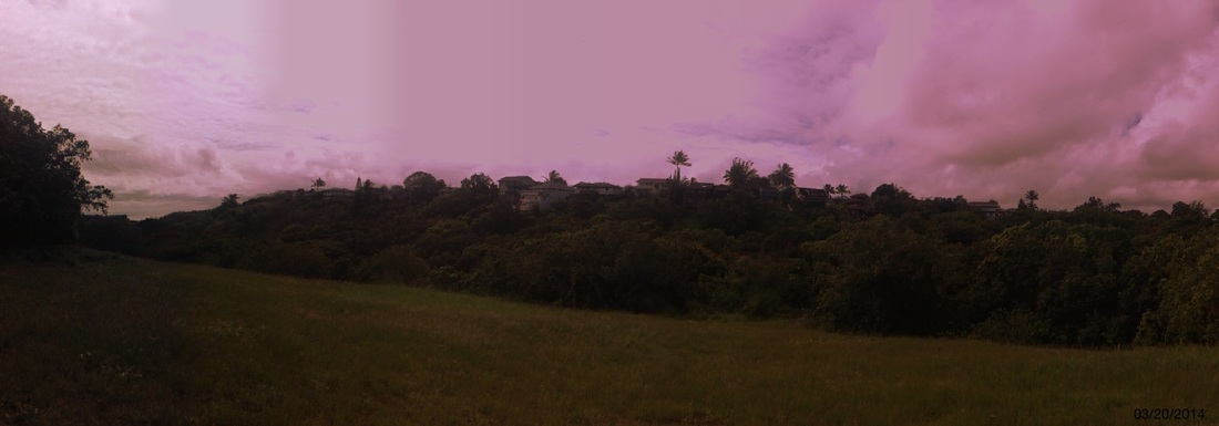
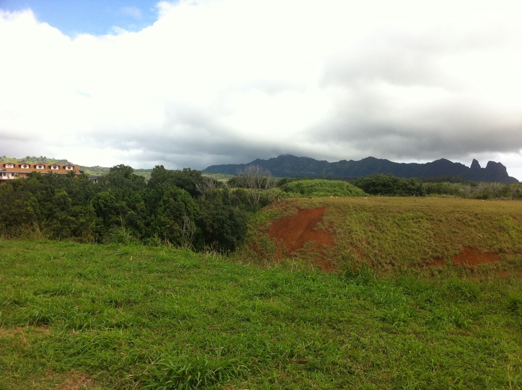
The modern staircase leads to a Japanese cemetery dating from the 1890s. Return to your car to continue up Kuamo‘o Road, built on an ancient path called “The Way of the Kings.” Many chiefs would travel along the Kuamo‘o or “Spine of the Lizard” on their annual pilgrimage, stopping at one of seven sacred sites, including Holoholoku, until they reached Mount Waialeale. I had an interview today at Kapaa High School in order to get a letter of approval in order to take a class in May in order to be a substitute teacher! Whew! I'm not sure what possessed me, but while walking back my explorer's itch started acting up, and I decided to explore some of the side roads in Kapahi, the neighborhood in north Kapaa where we live. The side roads end in spectacular vistas of Anahola to the north with the impressive formations of the Kalalea Mountains. At the bottom of the road, I came across an "encampment" consisting of a house built in conjunction with a school bus, linked to some solar panels. Quite the setup! Not far away and I saw a tent at the edge of a meadow. Whether or not these people own the land, the owner permits their presence or they're just squatting, I'm not sure, but I'm sure someone knows what's going on... just not me! I eventually made it up to the other side of the valley to get a nice view of all the really nice homes lining the opposite ridge. There is a lot of trash on this island. I'm not sure if it's an island thing where it's just hard to dispose of trash - it certainly costs money - or what, but you can find evidence of human waste pretty much anywhere (sadly). Eventually I made it through some trees and brush to find a meandering road that got me back to the main road. I passed by a mansion on top of the hill and another "encampment" down in the valley. A tale of two camps, if you will.
I took care not to blatantly trespass or disturb anyone, but I was probably on private land from time to time. All in all, it was a fun trek through the 'backcountry' of Kapahi, and as I returned through our neighborhood, I said to myself, "I could see myself making a life here." We will see what happens! A brief article I submitted today for a project creating an audio-CD driving tour of the island. Visit www.kauaidrivetours.com for more information. Let your gaze wander to the mauka or mountain side of the road and you cannot miss the Kalalea mountain range. Aptly named in Hawaiian for their prominence, the mountains tower over the road as they march toward the ocean. The small town of Anahola nestles in the ahupua’a, the traditional land division between the mountains and the sea. Designated primarily for Hawaiian Homesteads, Anahola is home to the largest concentration of Native Hawaiians on Kaua’i. The protruding peak closest to the ocean is Hoku’alele, meaning “shooting star.” The Hawaiians constructed a three-terraced high place of worship here called a heiau. Looking at the second peak inland, what do you see? The Hawaiians saw the dorsal fin of a shark as it parted through the land heading toward the ocean, and named the peak Mano or Shark Mountain. More recent visitors see the profile of the giant gorilla King Kong. The peak is quite famous, appearing in the 1976 King Kong film and the opening credits of Raiders of the Lost Ark, when the Paramount Pictures mountain (Mt. Shasta) fades into the Kalalea peak (at the 1:35 mark in clip below). Look closely behind the peak in the saddle of the ridgeline and you may glimpse Puuanakoua, or “Hole-in-the-Mountain.” This ancient lava tube has been exposed, covered and re-exposed by various landslides. Several Hawaiian legends tell of huge heroes hurling spears through the mountain, piercing its side.
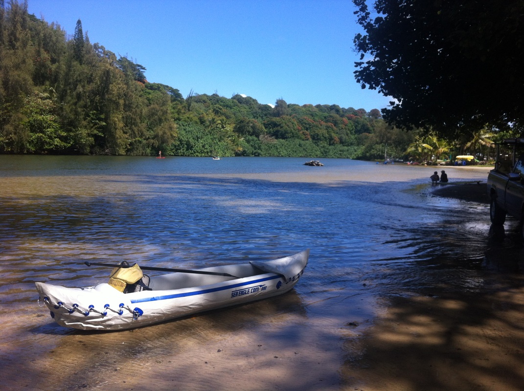
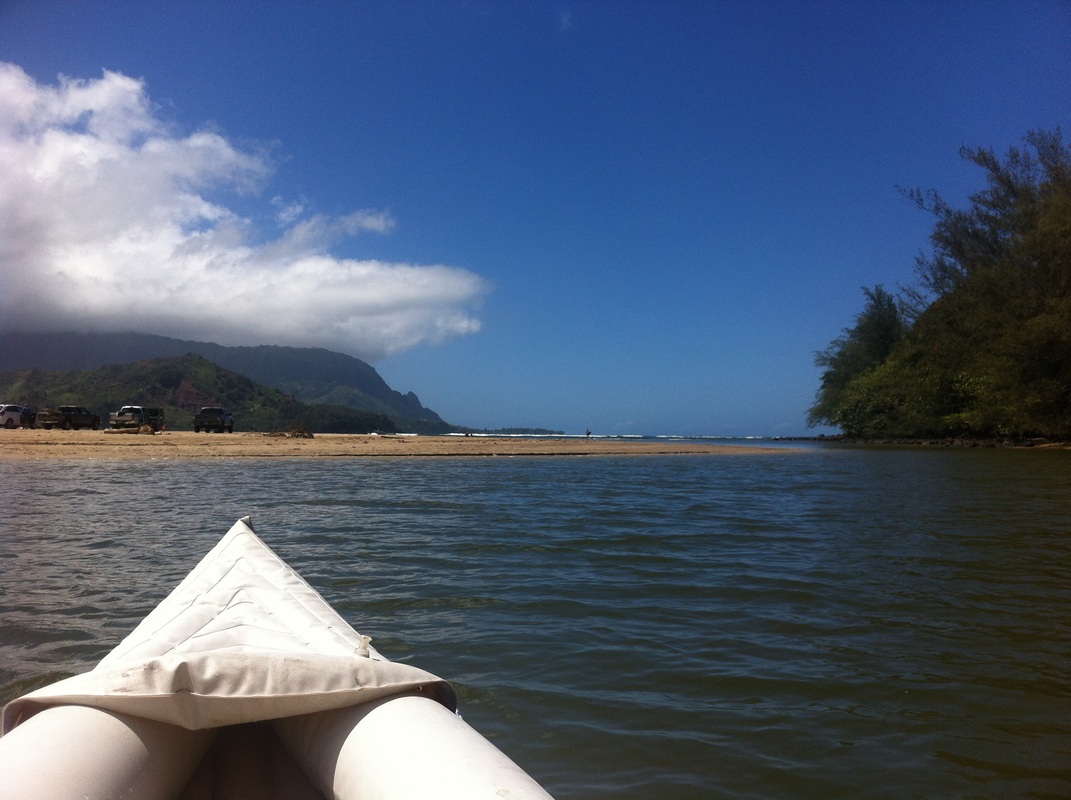
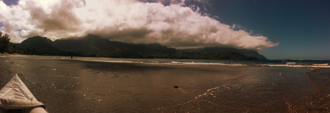
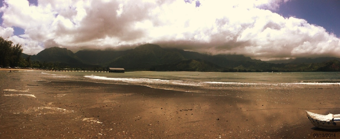
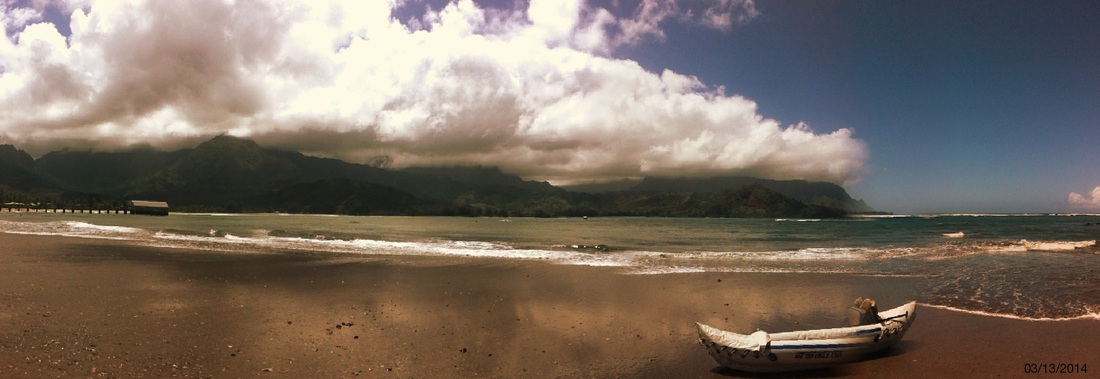
Now let your eyes take in the whole range and really let your imagination run wild. What other shapes and figures do you see? You may see a bust of George Washington, a tortoise, a hippo, and when looking at the entire range, maybe even a goddess sleeping on her back! Can you see them all? You may want to find a safe spot to pull over and enjoy the powerful energy or mana of these prominent peaks. King Kong’s profile can best be seen between mile markers 14 and 15, and a glimpse of Hole-in-the-Mountain between mile markers 15 and 16. Today I took the inflatable kayak out to paddle the Hanalei River. I forgot my regular kayak paddle and had to borrow a friend's paddle for stand-up paddleboarding. Perhaps needless to say, I recommend using the proper paddle. I made it almost to the Hanalei Bridge before turning around and going out to a sandbar at the mouth of river where it meets the bridge. They say it takes about 2-3 hours to paddle. I took two hours. I plan to return and explore further up the river on a later venture. One of the side tubes also started to deflate, but as far as I can tell it was because I did not full tighten one of the valves and then sat on it in a peculiar way. Thankfully I fixed the problem and remained afloat!
In any event, it was glorious. What a place to call home! |
AuthorArchives
July 2014
Categories
All
|


 RSS Feed